
Rondocan topographic map
Interactive map
Click on the map to display elevation.
About this map
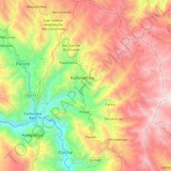
Name: Rondocan topographic map, elevation, terrain.
Location: Rondocan, Provincia de Acomayo, Cuzco, Perú (-13.87026 -71.83444 -13.69691 -71.69596)
Average elevation: 3,793 m
Minimum elevation: 2,708 m
Maximum elevation: 4,855 m