
Écija topographic map
Interactive map
Click on the map to display elevation.
About this map
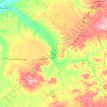
Name: Écija topographic map, elevation, terrain.
Location: Écija, Sevilla, Andalusien, Spanien (37.36814 -5.32349 37.71829 -4.87514)
Average elevation: 168 m
Minimum elevation: 44 m
Maximum elevation: 316 m
Other topographic maps
Click on a map to view its topography, its elevation and its terrain.
Dehesa de las Yeguas
Spanien > Andalusien > Écija
Dehesa de las Yeguas, Écija, Sevilla, Andalusien, Spanien
Average elevation: 182 m