
La Presa topographic map
Interactive map
Click on the map to display elevation.
About this map
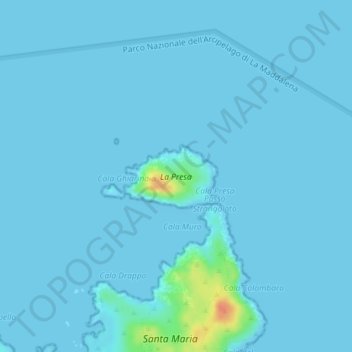
Name: La Presa topographic map, elevation, terrain.
Location: La Presa, Italia (41.30783 9.37022 41.31264 9.37993)
Average elevation: 2 m
Minimum elevation: -1 m
Maximum elevation: 44 m