
Mangola topographic map
Interactive map
Click on the map to display elevation.
About this map
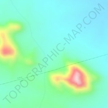
Name: Mangola topographic map, elevation, terrain.
Location: Mangola, Fufore, Adamawa, Nigéria (8.81662 12.59995 8.81672 12.60005)
Average elevation: 405 m
Minimum elevation: 339 m
Maximum elevation: 605 m
Other topographic maps
Click on a map to view its topography, its elevation and its terrain.