
Yurga topographic map
Interactive map
Click on the map to display elevation.
About this map
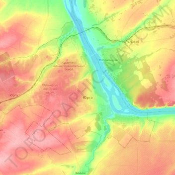
Name: Yurga topographic map, elevation, terrain.
Location: Yurga, Kemerovo Oblast, Siberian Federal District, Russia (55.67440 84.80009 55.76603 85.01201)
Average elevation: 146 m
Minimum elevation: 84 m
Maximum elevation: 196 m