
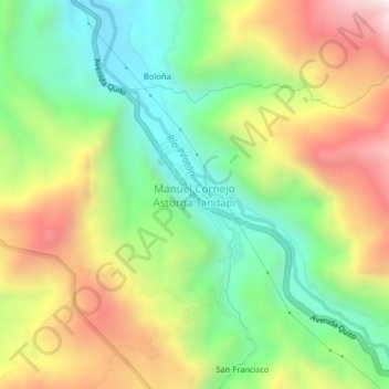
Manuel Cornejo Astorga Tandapi topographic map
Interactive map
Click on the map to display elevation.
About this map
Name: Manuel Cornejo Astorga Tandapi topographic map, elevation, terrain.
Average elevation: 1,768 m
Minimum elevation: 1,361 m
Maximum elevation: 2,321 m