Geolocate

Tresham topographic map

Click on the map to display elevation.

About this map

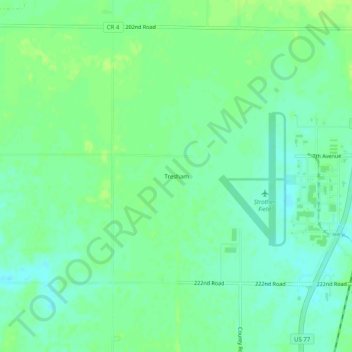
Name: Tresham topographic map, elevation, terrain.

Location: Tresham, Cowley County, Kansas, United States (37.15003 -97.06976 37.19003 -97.02976)

Average elevation: 353 m

Minimum elevation: 346 m

Maximum elevation: 358 m

Other topographic maps

Click on a map to view its topography, its elevation and its terrain.

Winfield

United States > Kansas > Cowley County

Average elevation: 367 m

Winfield

United States > Kansas > Cowley County

Average elevation: 367 m

Winfield

United States > Kansas > Cowley County

Average elevation: 367 m

Winfield

United States > Kansas > Cowley County

Average elevation: 367 m

Arkansas City

United States > Kansas > Cowley County

Average elevation: 345 m

Gear up for your next adventure:

🧥Packable Down Jackets - Lightweight warmth that compresses small in your bag
🎒Replacement Sternum Straps - Repair parts for hiking rucksacks
🧦Hiking Socks - Breathable socks designed to prevent blisters on long walks
🥾Women's Waterproof Hiking Boots - High-performance trekking boots designed for all-weather comfort
🧊Insulated Flasks - Keeps drinks hot or cold during hikes

As an Amazon Associate, this site earns from qualifying purchases at no extra cost to you.