
Gurney topographic map
Interactive map
Click on the map to display elevation.
About this map
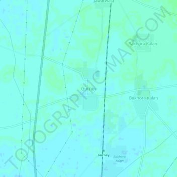
Name: Gurney topographic map, elevation, terrain.
Location: Gurney, Lehra Tahsil, Sangrur, Punjab, India (29.85281 75.78004 29.89281 75.82004)
Average elevation: 225 m
Minimum elevation: 223 m
Maximum elevation: 228 m