
Moorveld topographic map
Interactive map
Click on the map to display elevation.
About this map
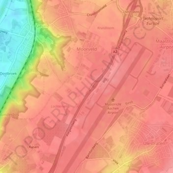
Name: Moorveld topographic map, elevation, terrain.
Location: Moorveld, Meerssen, Limburg, Niederlande (50.90635 5.75307 50.92266 5.77119)
Average elevation: 102 m
Minimum elevation: 39 m
Maximum elevation: 120 m