
Feraoun topographic map
Interactive map
Click on the map to display elevation.
About this map
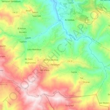
Name: Feraoun topographic map, elevation, terrain.
Location: Feraoun, Amizour District, Bejaia, 06330, Algeria (36.53164 4.82203 36.59968 4.93091)
Average elevation: 520 m
Minimum elevation: 97 m
Maximum elevation: 1,055 m