
Wingene topographic map
Interactive map
Click on the map to display elevation.
About this map
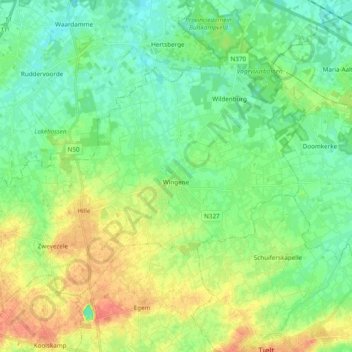
Name: Wingene topographic map, elevation, terrain.
Location: Wingene, Tielt, Flandre-Occidentale, Flandre, 8750, Belgique (51.01610 3.15762 51.10427 3.34956)
Average elevation: 23 m
Minimum elevation: 7 m
Maximum elevation: 50 m