
Swift River topographic map
Interactive map
Click on the map to display elevation.
About this map
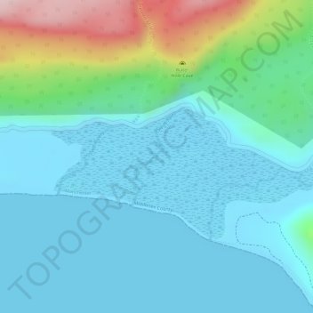
Name: Swift River topographic map, elevation, terrain.
Location: Swift River, Manchester, Middlesex County, Jamaica (17.86349 -77.40929 17.87189 -77.40456)
Average elevation: 62 m
Minimum elevation: -1 m
Maximum elevation: 292 m
Other topographic maps
Click on a map to view its topography, its elevation and its terrain.
Heartease
Heartease, Manchester, Middlesex County, Jamaica
Average elevation: 529 m
Blue Mountain
Blue Mountain, Manchester, Middlesex County, Jamaica
Average elevation: 554 m