
Lalpur topographic map
Interactive map
Click on the map to display elevation.
About this map
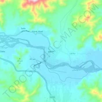
Name: Lalpur topographic map, elevation, terrain.
Location: Lalpur, Lal Pur, Nangarhar Province, Afghanistan (34.19916 71.00545 34.27916 71.08545)
Average elevation: 524 m
Minimum elevation: 407 m
Maximum elevation: 1,133 m