
Ban Pong Yaeng Nai topographic map
Interactive map
Click on the map to display elevation.
About this map
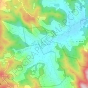
Name: Ban Pong Yaeng Nai topographic map, elevation, terrain.
Location: Ban Pong Yaeng Nai, Chiang Mai Province, Thailand (18.86382 98.80035 18.90382 98.84035)
Average elevation: 894 m
Minimum elevation: 733 m
Maximum elevation: 1,229 m