
Aerdenhout topographic map
Interactive map
Click on the map to display elevation.
About this map
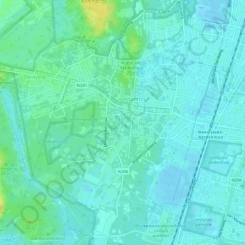
Name: Aerdenhout topographic map, elevation, terrain.
Location: Aerdenhout, Bloemendaal, Noord-Holland, Nederland (52.34462 4.57020 52.37536 4.60732)
Average elevation: 6 m
Minimum elevation: -1 m
Maximum elevation: 23 m