
Gevninge topographic map
Interactive map
Click on the map to display elevation.
Gevninge
In the epic Anglo-Saxon poem Beowulf, the titular hero travels to the mead hall, Heorot, the seat of King Hrothgar, on his way to kill the monster Grendel. While the tale is fictional, the anonymous author set the poem in the real world, and Hrothgar's seat of Heorot is thought today to have been located at Lejre. Upon disembarking, Beowulf and his men are met with an armed warrior who says his job is to protect the Danish shores; only after Beowulf announces his business is he escorted to Heorot. This has led to speculation that the author of Beowulf may have been familiar with the topography of the region, and imagined his hero disembarking at the site of modern-day Gevninge. For example, working through old maps and the poem of Beowulf, the scholars Gillian Overing and Marijane Osborn passed through Gevninge in an attempt to retrace the journey of Beowulf to Heorot/Lejre as described in the poem.
About this map
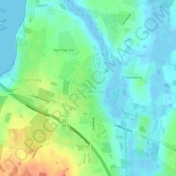
Name: Gevninge topographic map, elevation, terrain.
Location: Gevninge, Lejre Kommune, Denmark (55.64005 11.94940 55.65123 11.96521)
Average elevation: 14 m
Minimum elevation: -2 m
Maximum elevation: 46 m