
Kasegaon topographic map
Interactive map
Click on the map to display elevation.
About this map
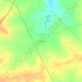
Name: Kasegaon topographic map, elevation, terrain.
Location: Kasegaon, Pandharpur, Solapur, Maharashtra, India (17.59674 75.30927 17.63674 75.34927)
Average elevation: 479 m
Minimum elevation: 458 m
Maximum elevation: 494 m