
Scandinavian topographic map
Interactive map
Click on the map to display elevation.
About this map
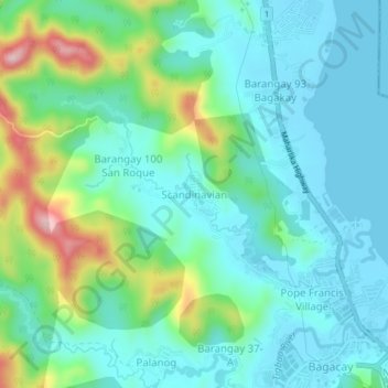
Name: Scandinavian topographic map, elevation, terrain.
Location: Scandinavian, Tacloban, Eastern Visayas, 06500, Philippines (11.25181 124.93062 11.29181 124.97062)
Average elevation: 59 m
Minimum elevation: -1 m
Maximum elevation: 248 m