
Saint-Damien topographic map
Interactive map
Click on the map to display elevation.
About this map
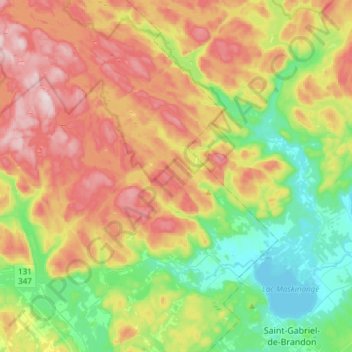
Name: Saint-Damien topographic map, elevation, terrain.
Location: Saint-Damien, Matawinie, Lanaudière, Québec, Canada (46.28217 -73.68167 46.48997 -73.39381)
Average elevation: 328 m
Minimum elevation: 140 m
Maximum elevation: 584 m