
Thank you for supporting this site ❤️
Make a donation
Make a donation
Gear up for your next adventure:
As an Amazon Associate, this site earns from qualifying purchases at no extra cost to you.
Cartagena topographic map
Click on the map to display elevation.
Thank you for supporting this site ❤️
Make a donation
Make a donation
Gear up for your next adventure:
As an Amazon Associate, this site earns from qualifying purchases at no extra cost to you.
About this map
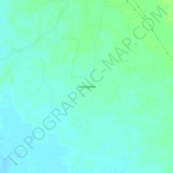
Name: Cartagena topographic map, elevation, terrain.
Location: Cartagena, Mórrope, Province of Lambayeque, Lambayeque, Peru (-6.61289 -80.04334 -6.57289 -80.00334)
Average elevation: 12 m
Minimum elevation: 8 m
Maximum elevation: 17 m
Thank you for supporting this site ❤️
Make a donation
Make a donation
Gear up for your next adventure:
As an Amazon Associate, this site earns from qualifying purchases at no extra cost to you.