
Macey topographic map
Interactive map
Click on the map to display elevation.
About this map
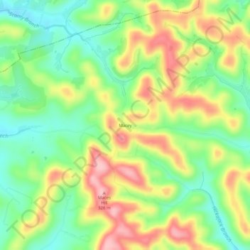
Name: Macey topographic map, elevation, terrain.
Location: Macey, Smith County, Tennessee, 37057, États-Unis d'Amérique (36.35700 -86.01721 36.39700 -85.97721)
Average elevation: 233 m
Minimum elevation: 162 m
Maximum elevation: 324 m