
Bakersfield topographic map
Interactive map
Click on the map to display elevation.
About this map
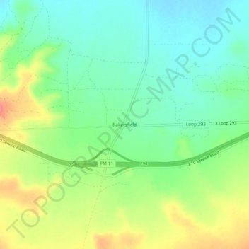
Name: Bakersfield topographic map, elevation, terrain.
Location: Bakersfield, Pecos County, Texas, United States (30.87127 -102.31791 30.91127 -102.27791)
Average elevation: 778 m
Minimum elevation: 751 m
Maximum elevation: 823 m
Other topographic maps
Click on a map to view its topography, its elevation and its terrain.