
Bhivghat topographic map
Interactive map
Click on the map to display elevation.
About this map
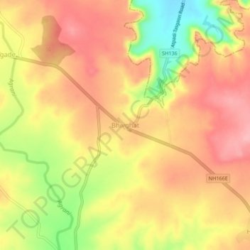
Name: Bhivghat topographic map, elevation, terrain.
Location: Bhivghat, Khanapur, Sangli, Maharashtra, India (17.22148 74.74879 17.26148 74.78879)
Average elevation: 784 m
Minimum elevation: 704 m
Maximum elevation: 833 m