
Attenham topographic map
Interactive map
Click on the map to display elevation.
About this map
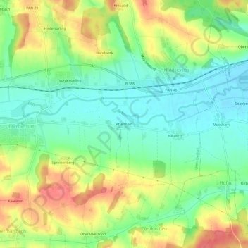
Name: Attenham topographic map, elevation, terrain.
Average elevation: 439 m
Minimum elevation: 409 m
Maximum elevation: 482 m
Other topographic maps
Click on a map to view its topography, its elevation and its terrain.
84339
Deutschland > Bayern > Landkreis Rottal-Inn > Huldsessen > Handwerk
84339, Handwerk, Huldsessen, Unterdietfurt, Landkreis Rottal-Inn, Bayern, Deutschland
Average elevation: 435 m