
Ola topographic map
Interactive map
Click on the map to display elevation.
About this map
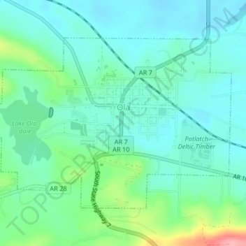
Name: Ola topographic map, elevation, terrain.
Location: Ola, Yell County, Arkansas, 72853, Estados Unidos da América (35.02117 -93.24165 35.03990 -93.20876)
Average elevation: 118 m
Minimum elevation: 90 m
Maximum elevation: 211 m