
Khangal Lake topographic map
Interactive map
Click on the map to display elevation.
About this map
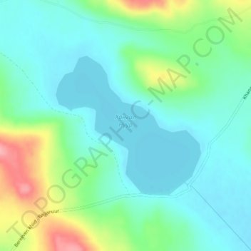
Name: Khangal Lake topographic map, elevation, terrain.
Location: Khangal Lake, Ömnödelger, Khentii, Mongolia (48.12975 109.37275 48.14475 109.39625)
Average elevation: 1,350 m
Minimum elevation: 1,318 m
Maximum elevation: 1,438 m