
Kamala topographic map
Interactive map
Click on the map to display elevation.
About this map
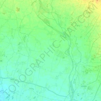
Name: Kamala topographic map, elevation, terrain.
Location: Kamala, Dhanusha, Madhesh Province, Nepal (26.65536 86.09776 26.76327 86.20019)
Average elevation: 81 m
Minimum elevation: 71 m
Maximum elevation: 98 m
Other topographic maps
Click on a map to view its topography, its elevation and its terrain.