
Blang Meurandeh topographic map
Interactive map
Click on the map to display elevation.
About this map
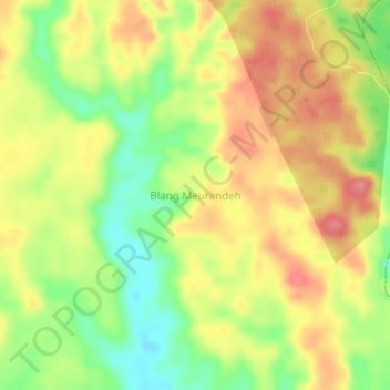
Name: Blang Meurandeh topographic map, elevation, terrain.
Location: Blang Meurandeh, Seunagan Timur, Nagan Raya, Aceh, Indonesia (4.30481 96.34096 4.34481 96.38096)
Average elevation: 91 m
Minimum elevation: 43 m
Maximum elevation: 132 m
Other topographic maps
Click on a map to view its topography, its elevation and its terrain.