
Dramfeld topographic map
Interactive map
Click on the map to display elevation.
About this map
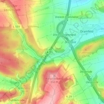
Name: Dramfeld topographic map, elevation, terrain.
Average elevation: 246 m
Minimum elevation: 177 m
Maximum elevation: 335 m
Other topographic maps
Click on a map to view its topography, its elevation and its terrain.
Dramfeld
Deutschland > Niedersachsen > Landkreis Göttingen > Rosdorf
Dramfeld, Rosdorf, Landkreis Göttingen, Niedersachsen, 37124, Deutschland
Average elevation: 208 m