
Saint Mere Eglise topographic map
Interactive map
Click on the map to display elevation.
About this map
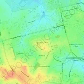
Name: Saint Mere Eglise topographic map, elevation, terrain.
Average elevation: 90 m
Minimum elevation: 60 m
Maximum elevation: 141 m
Other topographic maps
Click on a map to view its topography, its elevation and its terrain.
Fayetteville
États-Unis d'Amérique > Caroline du Nord > Cumberland County > Fayetteville
Fayetteville, Cumberland County, Caroline du Nord, États-Unis d'Amérique
Average elevation: 48 m