
Al Khiran topographic map
Interactive map
Click on the map to display elevation.
About this map
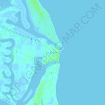
Name: Al Khiran topographic map, elevation, terrain.
Location: Al Khiran, Ahmadi, Kuwait (28.64143 48.36910 28.68143 48.40910)
Average elevation: 1 m
Minimum elevation: -4 m
Maximum elevation: 10 m
Other topographic maps
Click on a map to view its topography, its elevation and its terrain.