
Hadada topographic map
Interactive map
Click on the map to display elevation.
About this map
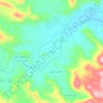
Name: Hadada topographic map, elevation, terrain.
Location: Hadada, Najran, Arabie saoudite (17.58334 43.74430 17.62334 43.78430)
Average elevation: 1,824 m
Minimum elevation: 1,733 m
Maximum elevation: 2,039 m