
Raunane topographic map
Interactive map
Click on the map to display elevation.
About this map
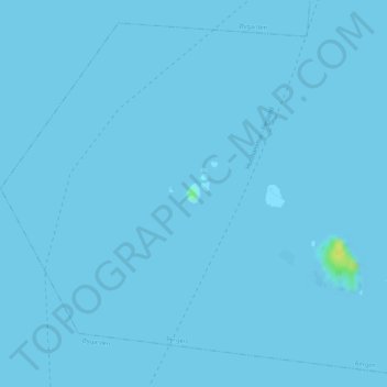
Name: Raunane topographic map, elevation, terrain.
Location: Raunane, Ytrebygda, Bergen, Vestland, Norway (60.26278 5.17083 60.26420 5.17262)
Average elevation: 0 m
Minimum elevation: -8 m
Maximum elevation: 17 m
Other topographic maps
Click on a map to view its topography, its elevation and its terrain.