
Castelmonte / Stara Gora topographic map
Interactive map
Click on the map to display elevation.
About this map
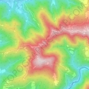
Name: Castelmonte / Stara Gora topographic map, elevation, terrain.
Average elevation: 378 m
Minimum elevation: 134 m
Maximum elevation: 654 m