
Hülscheid topographic map
Interactive map
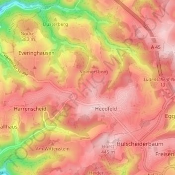
Click on the map to display elevation.
About this map
Name: Hülscheid topographic map, elevation, terrain.
Average elevation: 376 m
Minimum elevation: 217 m
Maximum elevation: 452 m
Other topographic maps
Click on a map to view its topography, its elevation and its terrain.
Gelstern
Deutschland > Nordrhein-Westfalen > Märkischer Kreis > Heedfeld > Gelstern
Gelstern, Heedfeld, Schalksmühle, Märkischer Kreis, Nordrhein-Westfalen, 58509, Deutschland
Average elevation: 385 m