
Hel topographic map
Interactive map
Click on the map to display elevation.
About this map
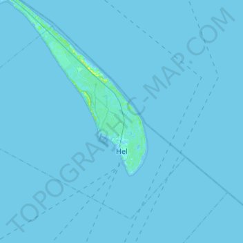
Name: Hel topographic map, elevation, terrain.
Location: Hel, powiat pucki, Voivodato de Pomerania, 84-150, Polonia (54.56690 18.62152 54.68081 18.86710)
Average elevation: 0 m
Minimum elevation: -3 m
Maximum elevation: 13 m