
White Hills topographic map
Interactive map
Click on the map to display elevation.
About this map
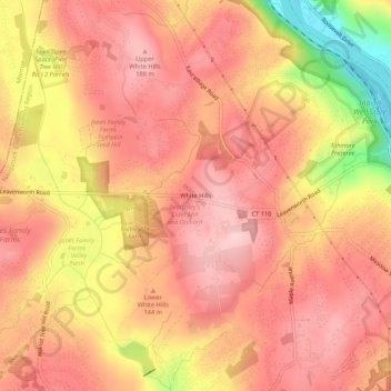
Name: White Hills topographic map, elevation, terrain.
Average elevation: 133 m
Minimum elevation: 1 m
Maximum elevation: 191 m
Other topographic maps
Click on a map to view its topography, its elevation and its terrain.
Huntington
United States > Connecticut > Fairfield County > Shelton
Huntington, Shelton, Fairfield County, Connecticut, 06484, United States
Average elevation: 113 m