
Jang topographic map
Interactive map
Click on the map to display elevation.
About this map
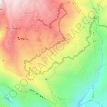
Name: Jang topographic map, elevation, terrain.
Location: Jang, Tawang Circle, Tawang district, Arunachal Pradesh, India (27.56220 91.85670 27.60220 91.89670)
Average elevation: 2,570 m
Minimum elevation: 1,927 m
Maximum elevation: 3,178 m
Other topographic maps
Click on a map to view its topography, its elevation and its terrain.
Tawang
India > Arunachal Pradesh > Tawang Circle
Tawang, Tawang Circle, Tawang District, Arunachal Pradesh, India
Average elevation: 3,280 m