
Rivière-Mouchalagane topographic map
Interactive map
Click on the map to display elevation.
About this map
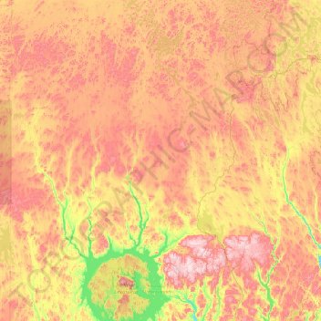
Name: Rivière-Mouchalagane topographic map, elevation, terrain.
Location: Rivière-Mouchalagane, Caniapiscau, Côte-Nord, Quebec, Kanada (51.55894 -70.02478 53.05519 -66.25341)
Average elevation: 607 m
Minimum elevation: 295 m
Maximum elevation: 1,096 m