
Gaviotas topographic map
Interactive map
Click on the map to display elevation.
About this map
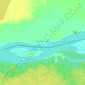
Name: Gaviotas topographic map, elevation, terrain.
Location: Gaviotas, Putumayo, Colombia (0.02159 -75.75010 0.06159 -75.71010)
Average elevation: 212 m
Minimum elevation: 202 m
Maximum elevation: 221 m