
Burke topographic map
Interactive map
Click on the map to display elevation.
About this map
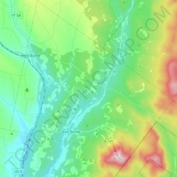
Name: Burke topographic map, elevation, terrain.
Location: Burke, Caledonia County, Vermont, 05832, United States (44.55788 -71.99982 44.67955 -71.84237)
Average elevation: 425 m
Minimum elevation: 215 m
Maximum elevation: 980 m
Other topographic maps
Click on a map to view its topography, its elevation and its terrain.