
Gnesau topographic map
Interactive map
Click on the map to display elevation.
About this map
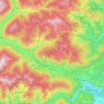
Name: Gnesau topographic map, elevation, terrain.
Location: Gnesau, Bezirk Feldkirchen, Carinthie, 9563, Autriche (46.74983 13.85339 46.84642 14.04906)
Average elevation: 1,265 m
Minimum elevation: 649 m
Maximum elevation: 1,921 m