
Ardo أردو topographic map
Interactive map
Click on the map to display elevation.
About this map
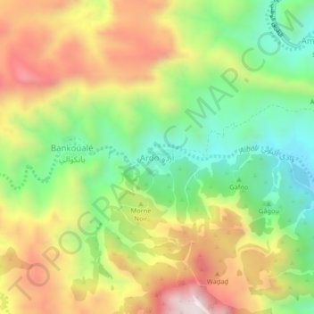
Name: Ardo أردو topographic map, elevation, terrain.
Location: Ardo أردو, Randa District, Tadjourah, Djibouti (11.80261 42.66544 11.84261 42.70544)
Average elevation: 797 m
Minimum elevation: 453 m
Maximum elevation: 1,214 m