
Măgureni topographic map
Interactive map
Click on the map to display elevation.
About this map
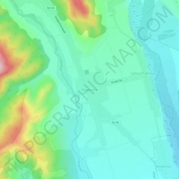
Name: Măgureni topographic map, elevation, terrain.
Location: Măgureni, Prahova, 107350, Romania (45.02349 25.73238 45.06349 25.77238)
Average elevation: 363 m
Minimum elevation: 304 m
Maximum elevation: 545 m