Geolocate

Garli topographic map

Click on the map to display elevation.

About this map

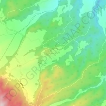
Name: Garli topographic map, elevation, terrain.

Location: Garli, Rakkar, Kangra, Himachal Pradesh, 177108, India (31.78859 76.21548 31.82859 76.25548)

Average elevation: 567 m

Minimum elevation: 437 m

Maximum elevation: 797 m

Gear up for your next adventure:

🧥Waterproof Hiking Jackets - Rain protection for walking in all weather conditions
🎒Multi-day Trekking Packs - Large capacity backpacks for wild camping and long-distance trails
🎒Hiking Daypacks (20L) - Compact backpacks for day trips and technical mountain ascents
🧣Fleece Neck Warmers - Extra insulation for winter topographic surveys
🧢Hiking Hats - Sun and weather protection for outdoor walks

As an Amazon Associate, this site earns from qualifying purchases at no extra cost to you.