
Chulluni topographic map
Interactive map
Click on the map to display elevation.
About this map
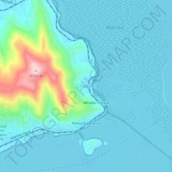
Name: Chulluni topographic map, elevation, terrain.
Location: Chulluni, Puno, 21000, Perú (-15.83350 -70.01391 -15.79350 -69.97391)
Average elevation: 3,854 m
Minimum elevation: 3,807 m
Maximum elevation: 4,121 m