
Benito Juárez topographic map
Interactive map
Click on the map to display elevation.
About this map
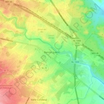
Name: Benito Juárez topographic map, elevation, terrain.
Location: Benito Juárez, Juárez, Nuevo León, 67250, México (25.60670 -100.13078 25.68670 -100.05078)
Average elevation: 395 m
Minimum elevation: 343 m
Maximum elevation: 456 m
Other topographic maps
Click on a map to view its topography, its elevation and its terrain.
Las Concordias
México > Nuevo León > Juárez
Las Concordias, Juárez, Nuevo León, México
Average elevation: 422 m