
Brilley topographic map
Interactive map
Click on the map to display elevation.
About this map
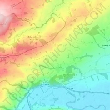
Name: Brilley topographic map, elevation, terrain.
Location: Brilley, Herefordshire, England, United Kingdom (52.11672 -3.14192 52.16171 -3.03840)
Average elevation: 191 m
Minimum elevation: 61 m
Maximum elevation: 391 m