
Courchavon topographic map
Interactive map
Click on the map to display elevation.
About this map
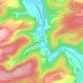
Name: Courchavon topographic map, elevation, terrain.
Location: Courchavon, Bezirk Pruntrut, Jura, 2922, Schweiz (47.42614 7.02296 47.45001 7.07011)
Average elevation: 493 m
Minimum elevation: 396 m
Maximum elevation: 584 m