
Haniska topographic map
Interactive map
Click on the map to display elevation.
About this map
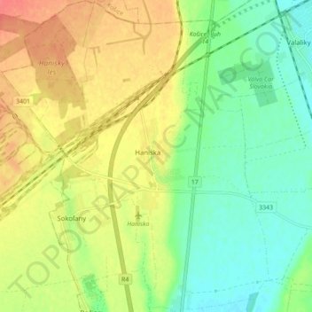
Name: Haniska topographic map, elevation, terrain.
Average elevation: 206 m
Minimum elevation: 182 m
Maximum elevation: 234 m
Other topographic maps
Click on a map to view its topography, its elevation and its terrain.
Rudník
Slovakia > Region of Košice > District of Košice - okolie > Rudník
Rudník, District of Košice - okolie, Region of Košice, Eastern Slovakia, 044 23, Slovakia
Average elevation: 337 m
Humel
Slovakia > Region of Košice > District of Košice - okolie
Humel, District of Košice - okolie, Region of Košice, Eastern Slovakia, 044 25, Slovakia
Average elevation: 518 m